


Taking a risk with the weather
We hummed and haahed about how to spend our second day in Aalborg. We felt we'd seen the best of the city and had hoped to head out to a Viking ruin or something. But the weather wasn't looking so good. We didn't want to retrace our steps, we didn't really feel like mooching in a museum but neither did we want to waste a precious day here. Our map was littered with stars marking suggestions, mostly offered by our friends Marianne and Mogens and there was one out there on the north west coast that had really appealed: A National Park amongst the sand dunes. Would we be foolish to head out there in such threatening weather? Or would that weather simply add to the atmosphere?
There was one way to find out.
We set off after breakfast with our fingers crossed, having set our satnav for Thy, the location of the National Park Visitor Centre.
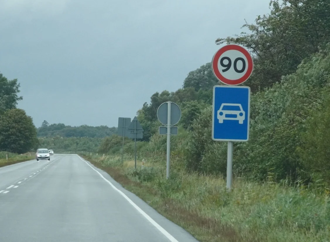
Once again, there was very little traffic on the road, though we did wonder what that road sign meant? Neither of us could recall seeing it at home, so we did a quick google for the answer: only motorised vehicles permitted. OK.
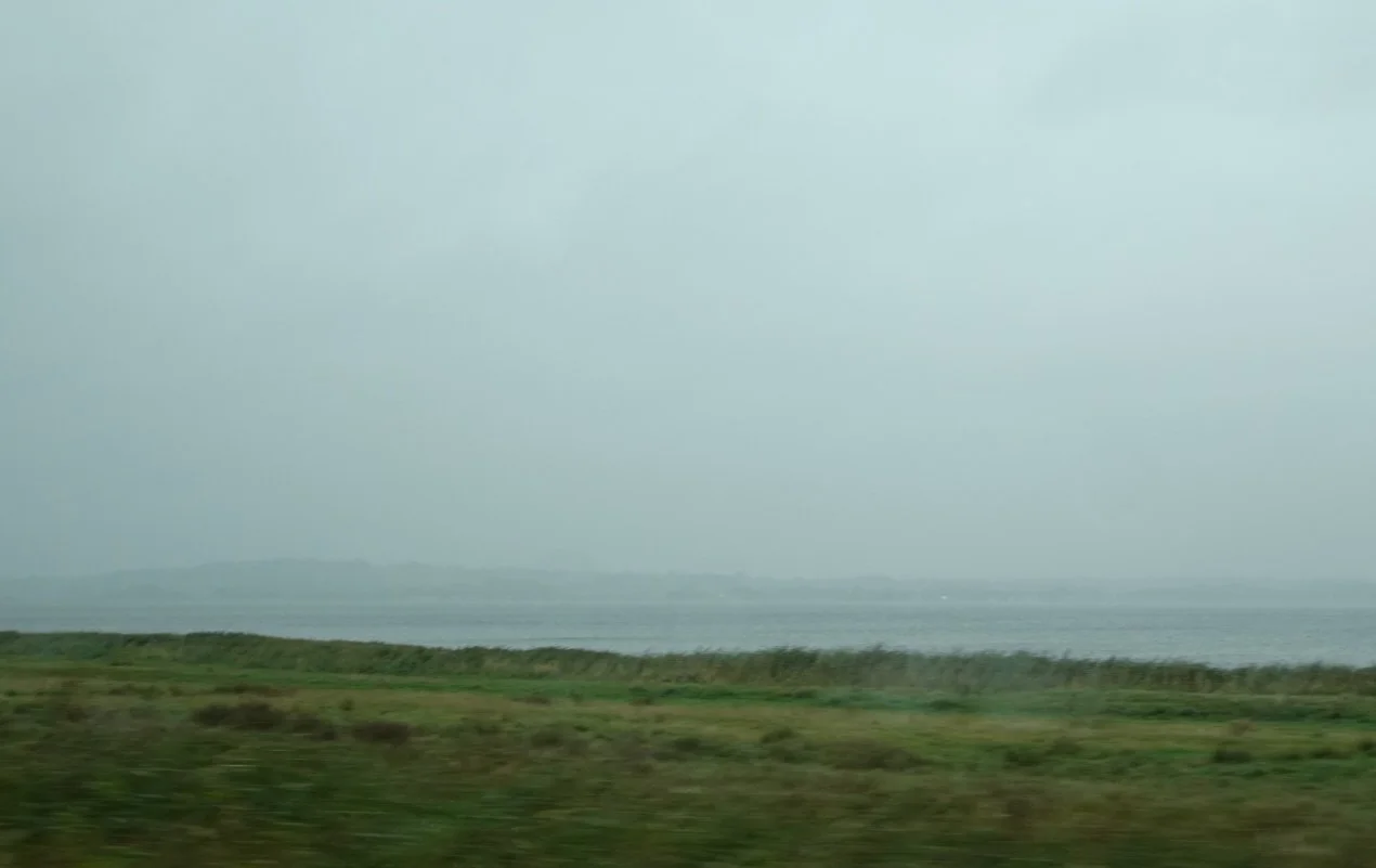
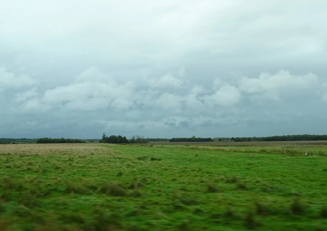
As we drove along the southern side of the Limfjord it became increasingly misty and murky. We drove through and past villages with names ending in -by, -holme and -toft, just like the placenames the Danes left behind in those parts of England which had been part of the historic area of Danelaw.
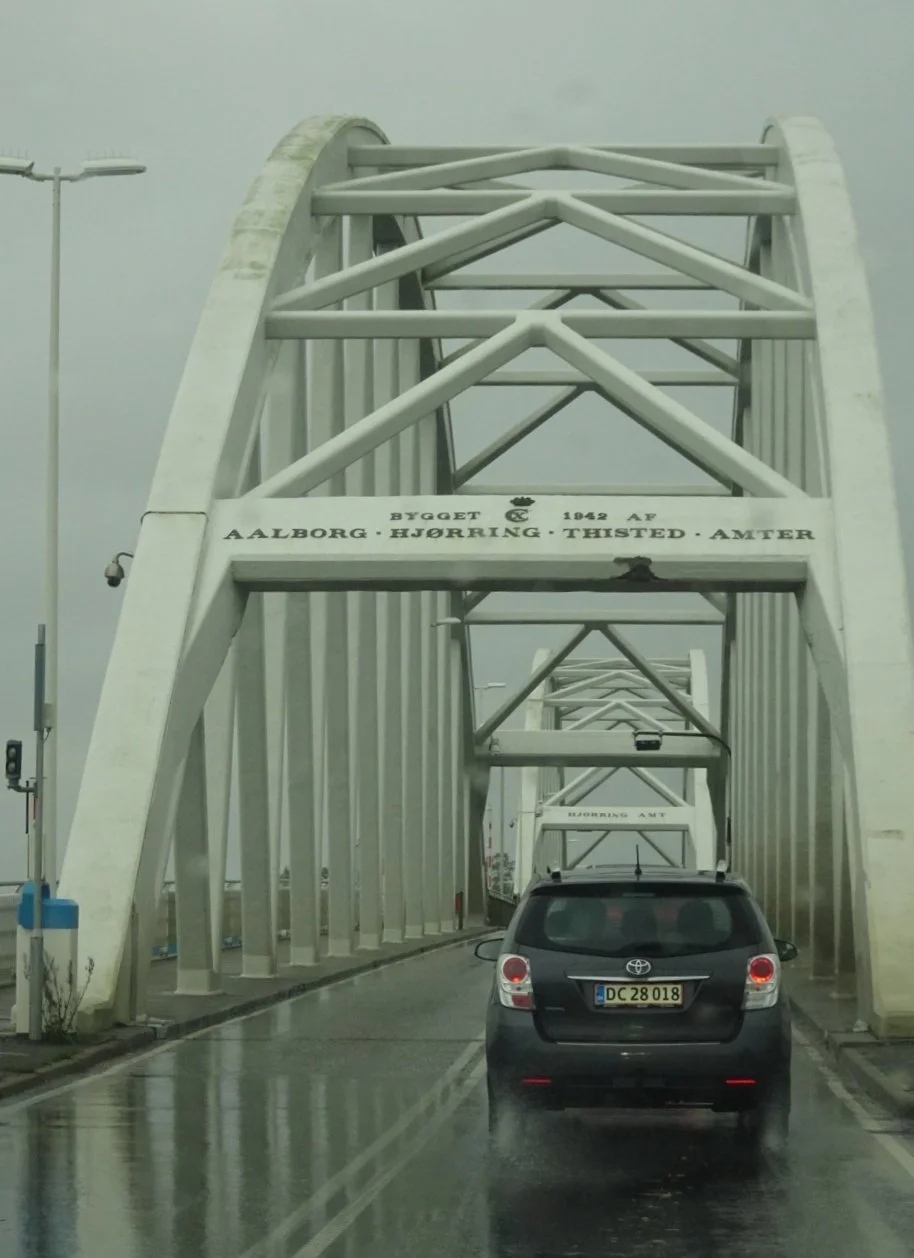
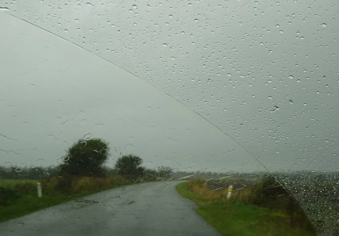
It might even have been raining when we reached the Aggersund Bridge.
But, ever the optimists, we kept our eyes on that little chink of light in between the dark clouds and hoped for the best.
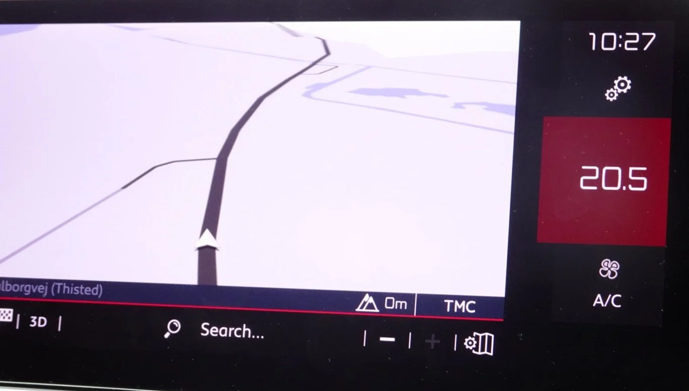
The car display informed us we were currently at an altitude of 0m,
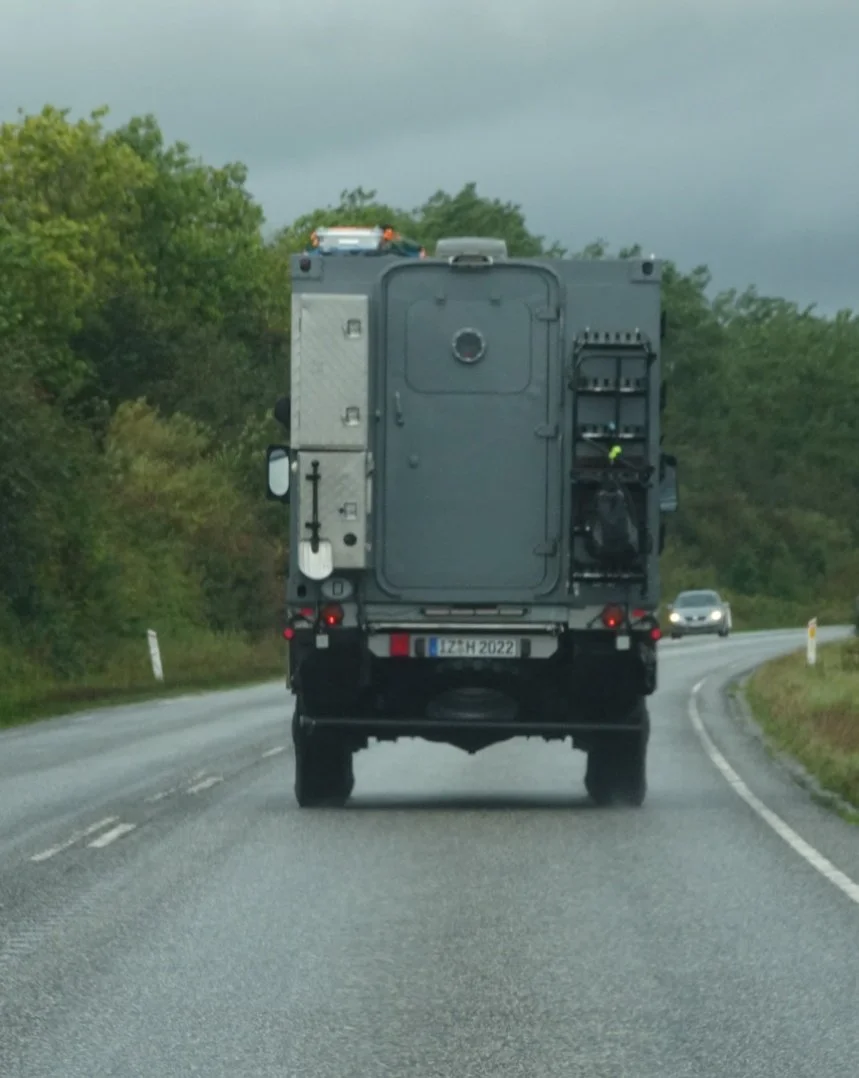
following a German truck, the purpose of which we tried to work out as we went. There was a shovel there on the back and curiously, a rucksack was hanging on the other side of that somewhat over-engineered door. There also appeared to be some kind of storage box fixed to the roof - this was surely some kind of camper van?
We turned left shortly afterwards, towards the sign marking the edge of the Thy National Park. We were almost there.
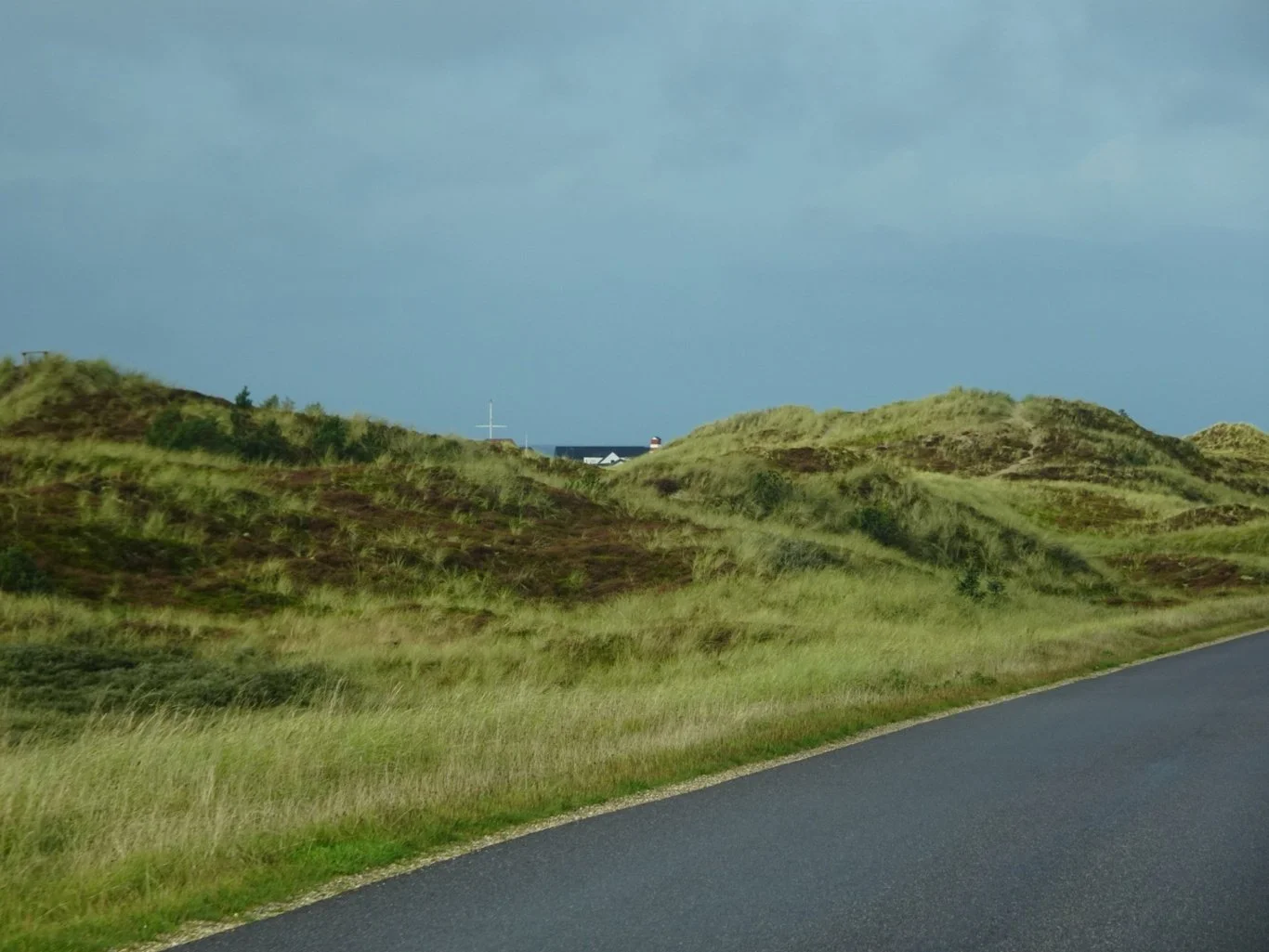
We didn't have to ignore the weather either, because within seconds the rain stopped and the sun tried to come out. WooHoo!
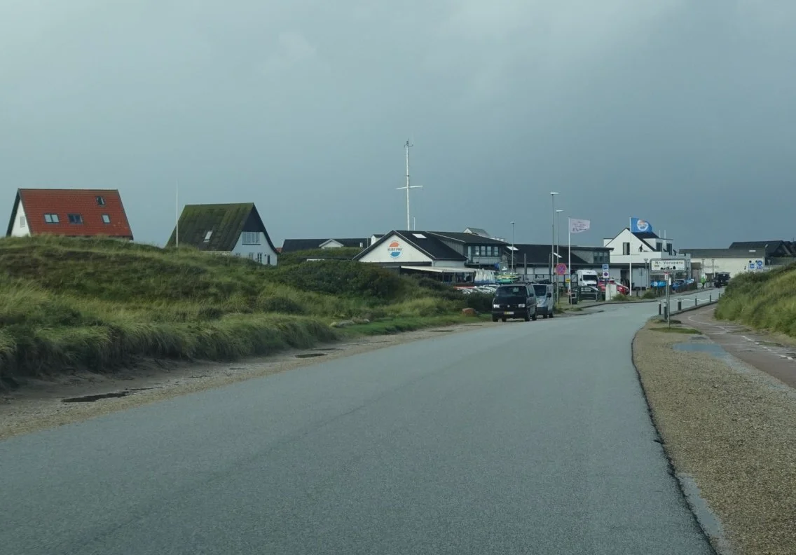
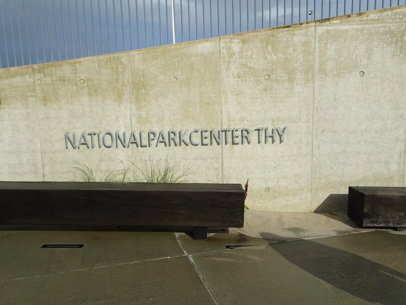
The village of Vorupør was there at the end of the road and the car park right there outside our destination, the National Park Centre.
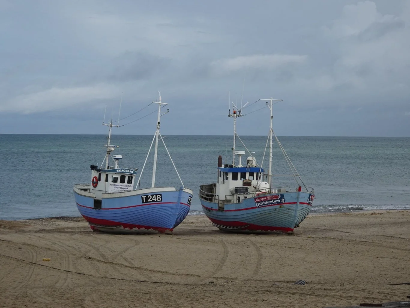
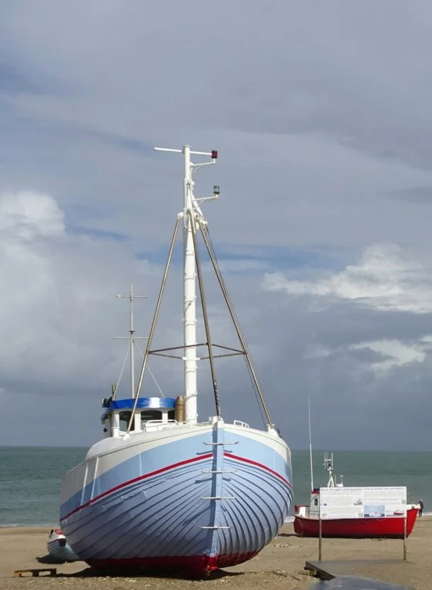
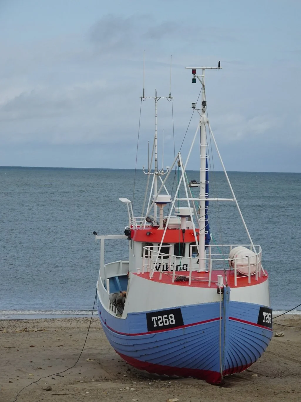
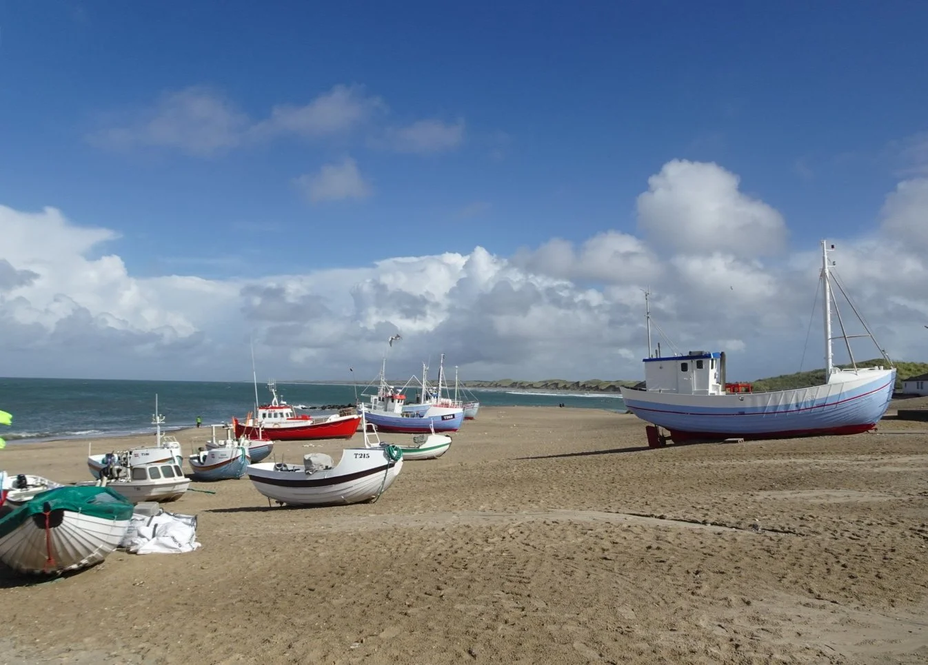
But, not wanting to waste a minute of fine weather, we headed towards the water. Vorupør is unusual in not having a harbour for its fishing fleet, so the boats are hauled up onto the sandy beach, where their keelless hulls sit nicely on the sand. Another reminder of home, for the small fishing boats working off the Yorkshire coast also have rounded hulls and are shaped very much like this. My Mum called them coggie boats.
It was all rather lovely here. Few people, a glimmer of sunshine and rather interesting to wander on the sand.
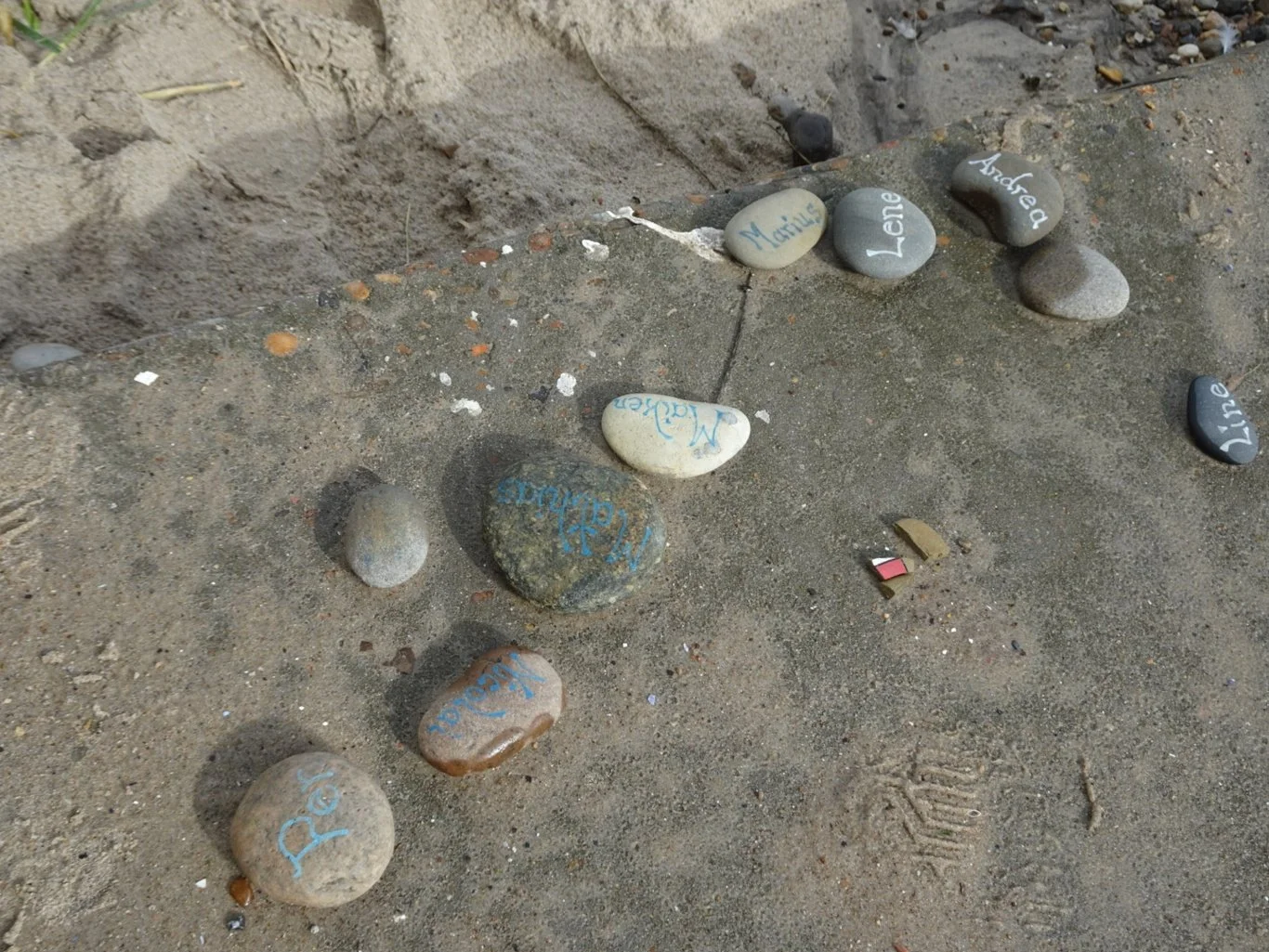
Some had left their signed pebbles behind too.
But we were here to learn something about this coast, which we understood to be rather special. Our guidebook waxed lyrical about it (which was why we were keen to see it for ourselves) but since we'd bought a really old edition from a charity shop, it said nothing about the recent visitor centre development.
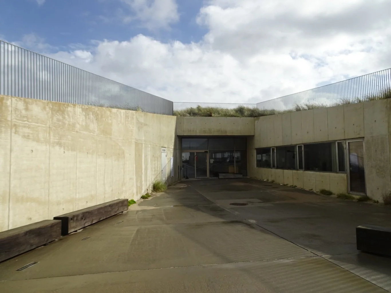
Sensibly, it had been built into the sand dunes and was shielded from the wind and weather. Essential during the winter months, I suspect.
photograph thanks to the National Parks Centre website
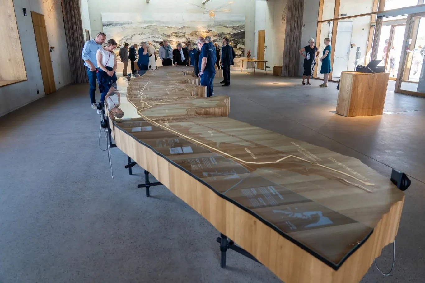
Inside was a bright and airy exhibition space with a huge map representation of the National Park there centre stage. We were immediately greeted by one of the volunteer guides speaking excellent English who explained one or two basics by way of introduction.
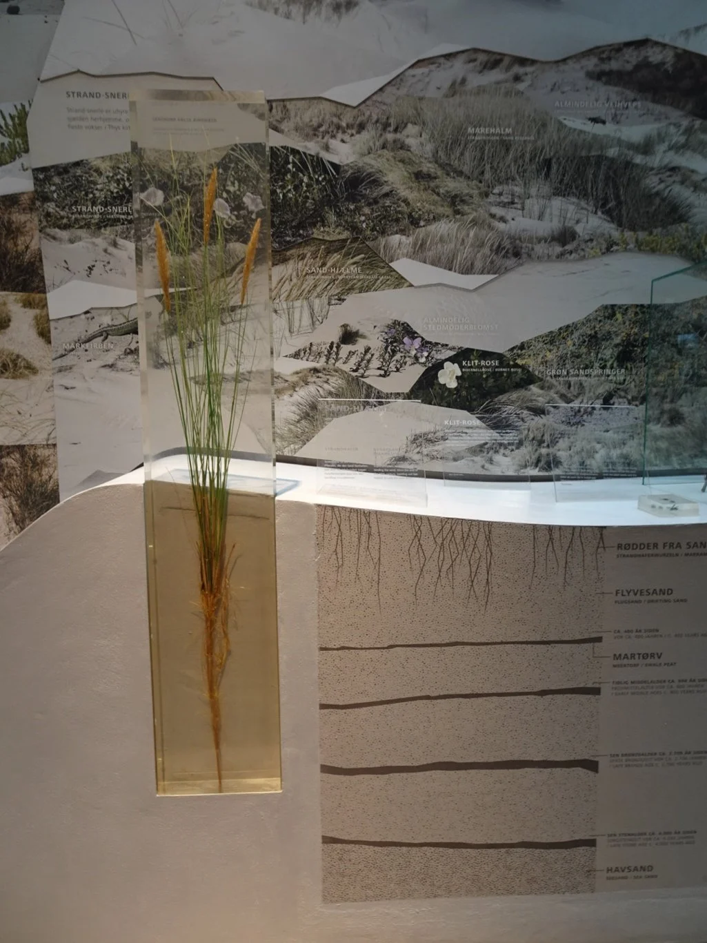
The unique characteristic of the park is the combination of sea, sand dunes and heathland. Over the years, there were huge storms that blew the sand away, resulting in marram grass being planted to protect the coastline. But then different theories came along and alternative actions were taken; now the whole area is returning to heath and is the largest concentration of dune heathland in Europe.
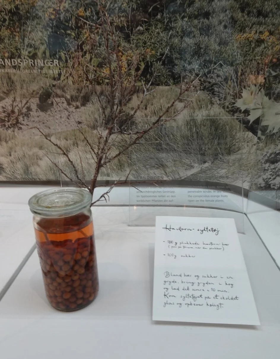
Here there were samples of the foraging opportunities in the park, with a recipe alongside so we'd know what to do with the sea buckthorn we may collect.
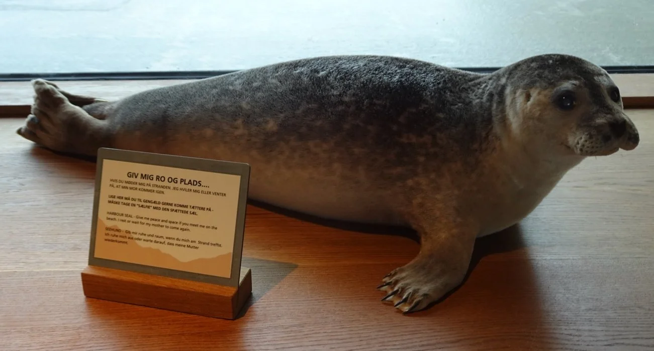
There were (stuffed) examples of the birds to be found here: curlews, sandpipers and cranes, but a far cuter attraction was there on the windowsill: a harbour seal, with a note alongside recommending that “if you meet me on the beach, give me peace and space so I can rest or wait for my mother to return”.
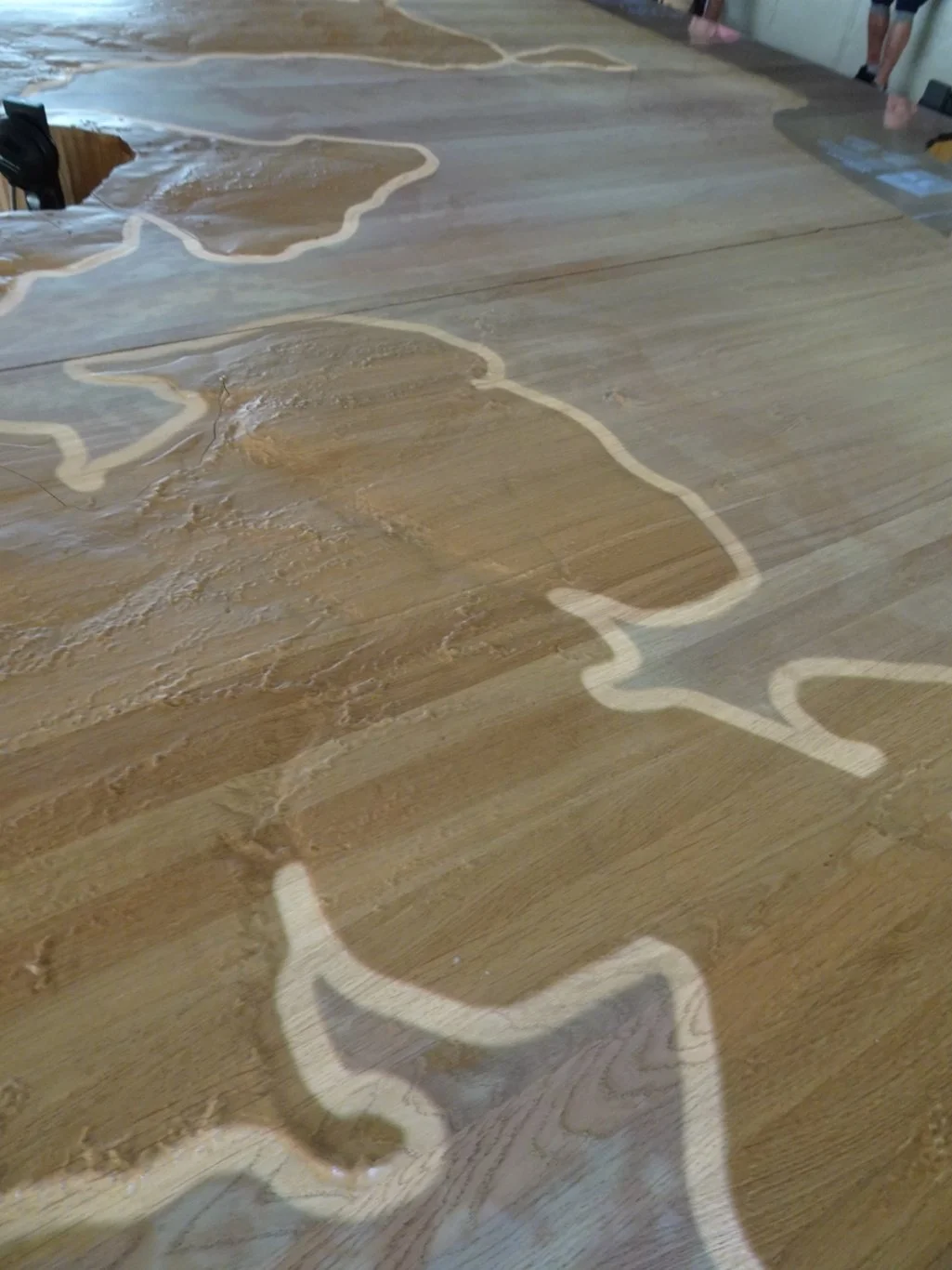
Every fifteen minutes or so, the large map would be the focus of a presentation using projected images onto the surface. I took the photo above whilst the changing coastline was being shown, as a result of ice ages and different climactic conditions. At times, shipping channels would silt up and previously prosperous ports would be ruined. The whole story can be found here.
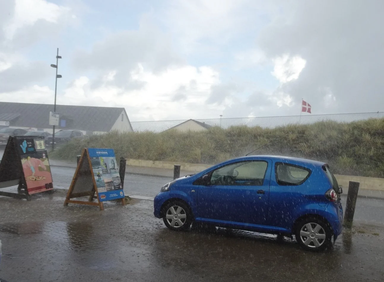
We were starting to feel peckish and had been told we might find some fish cooking nearby. But just as we were about to investigate…well, you can guess what happened!
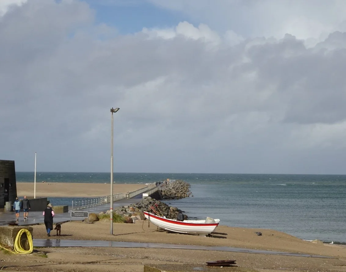
Thankfully, it didn't last long and we headed around the corner to the beach where we'd begun, earlier this morning. There's an outcrop of land just here which has been reinforced into a kind of pier. The braver souls were taking a walk out there which we scaredy-cats were eyeing those dark clouds and staying closer to shelter.
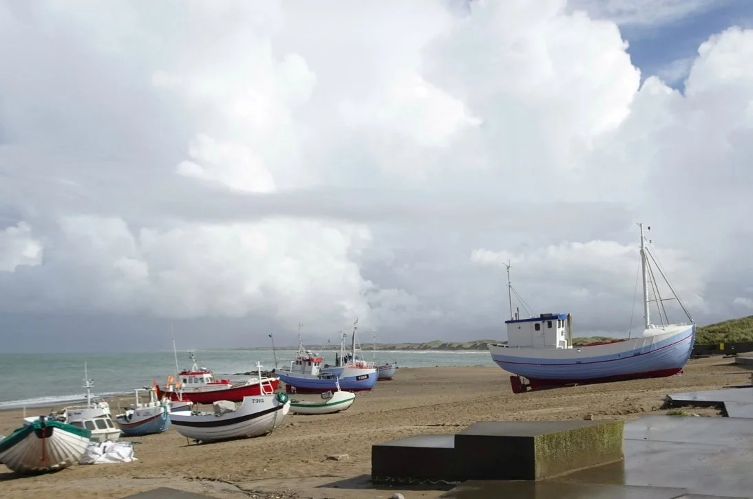
Though actually, we thought the weather was clearing nicely. Certainly, we could see the coastline beyond the fishing boats, which we'd not noticed earlier.
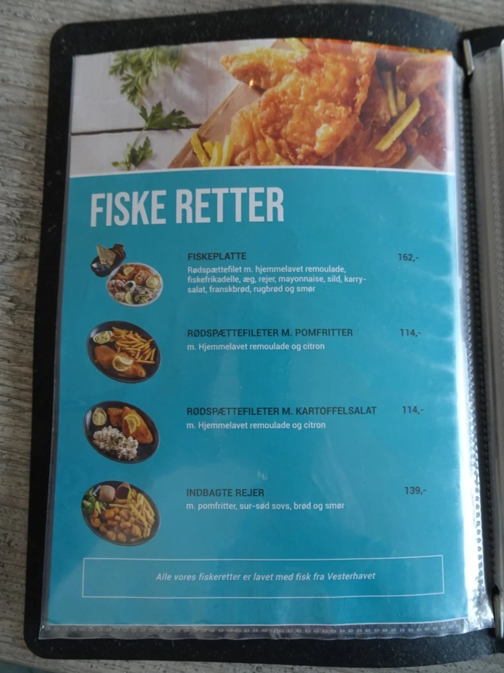
Anyway, led by our noses, we found our lunch venue and made our choices.
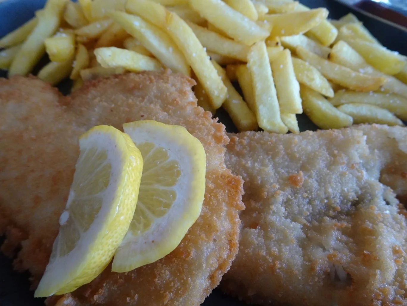
No surprises there, then.
With a couple of hours to drive home, we felt we were almost done here.
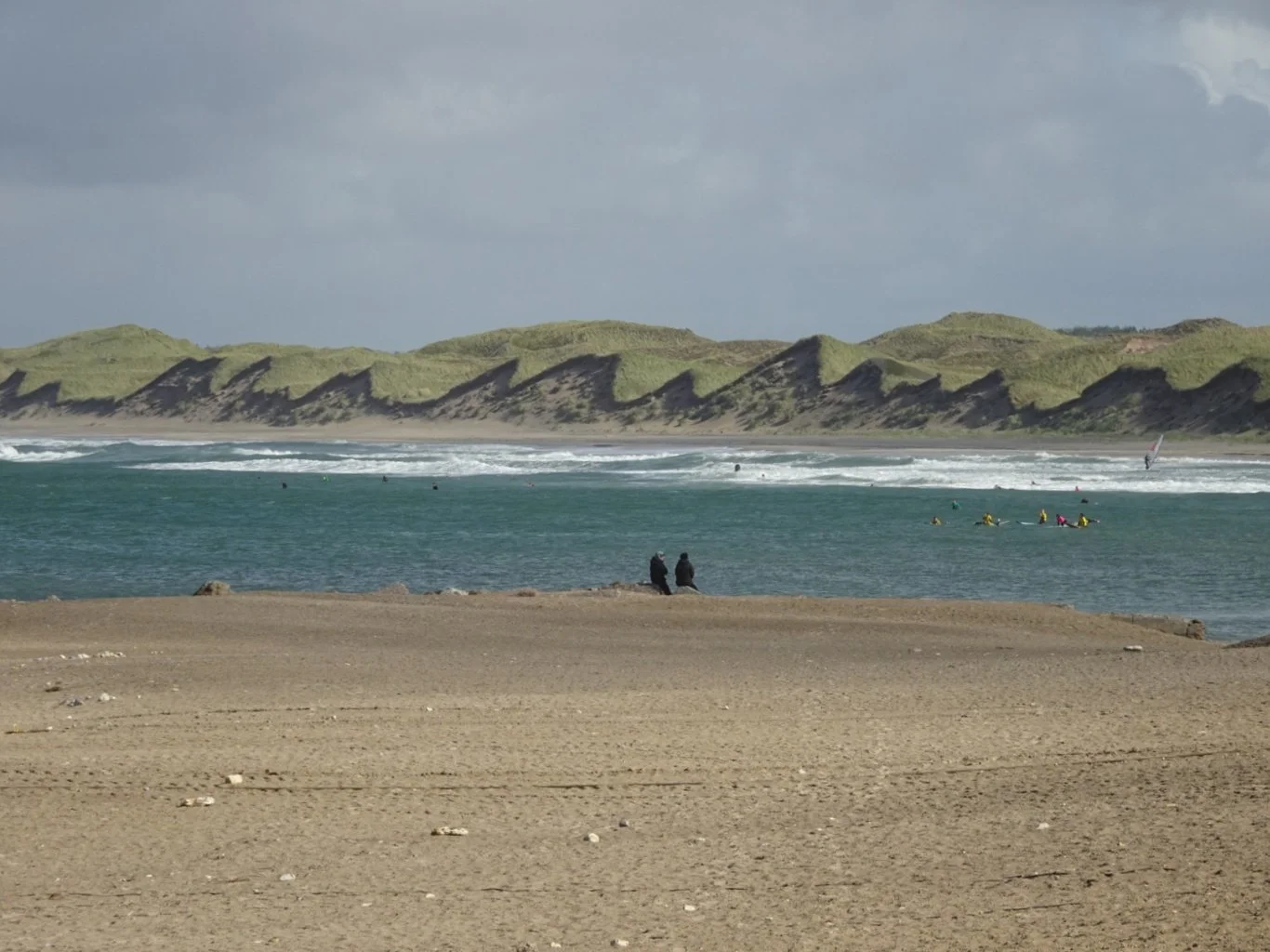
But the last photograph I took was surely the one I'd been waiting for. Those dunes over to the north of Vorupør, together with the kite surfers in action as part of the Cold Hawaii Games currently taking place here, all looked so much more spectacular in the different light.
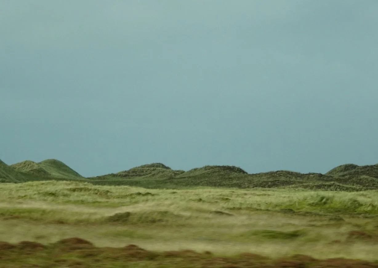
We drove just inland of those dunes on our way back to Aalborg.
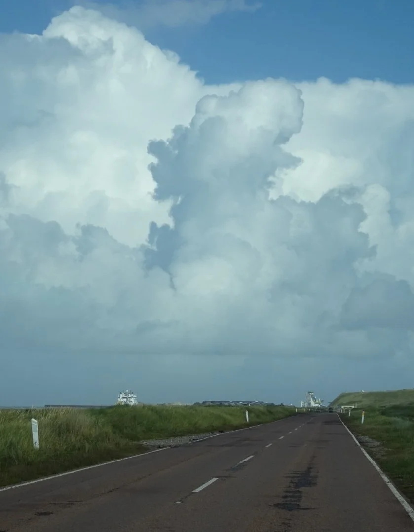
As we approached Hantsholm, the clouds formed a map of Denmark in the sky.
A brief stop here was all we needed and we were soon retracing our steps, returning the way we'd come this morning.
What a great day. How glad we were that we'd taken the risk!