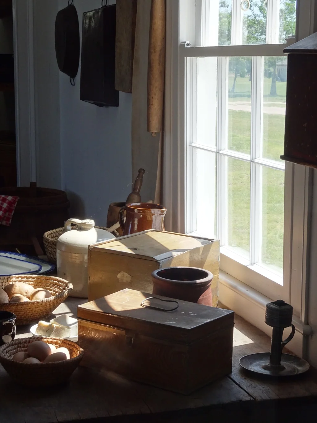


On the trail
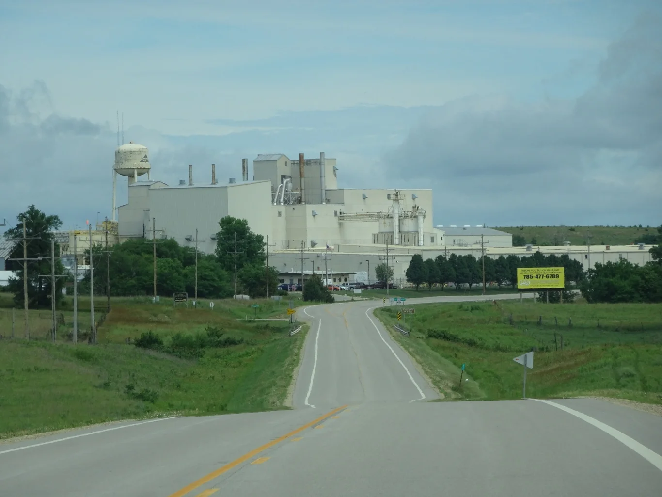
Our day began under Kansas skies as we left Topeka, driving trough the suburbs and the largest collection of silos we'd ever seen.
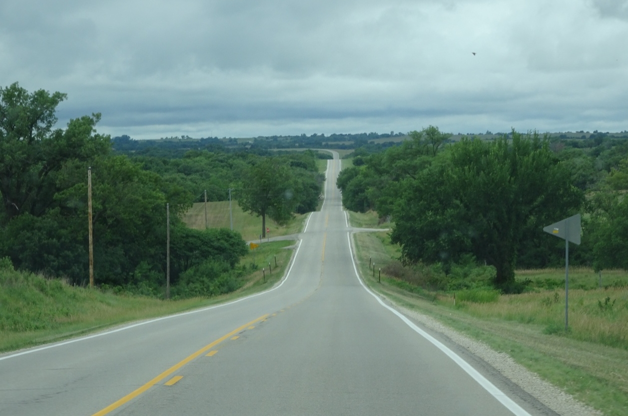
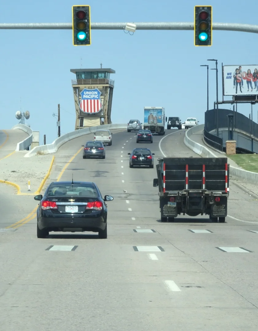
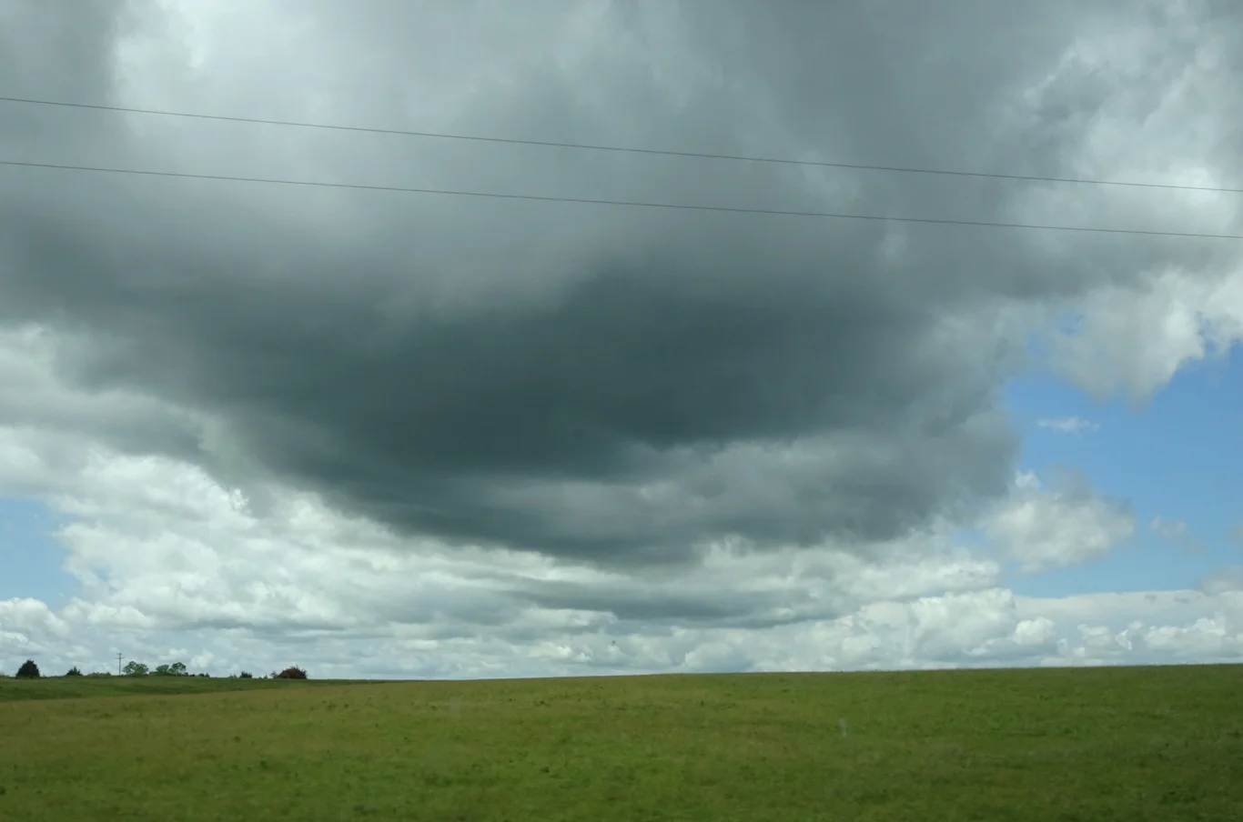
Before too long the classic road trip view appeared through the windscreen. Oh, the joys of the open road!
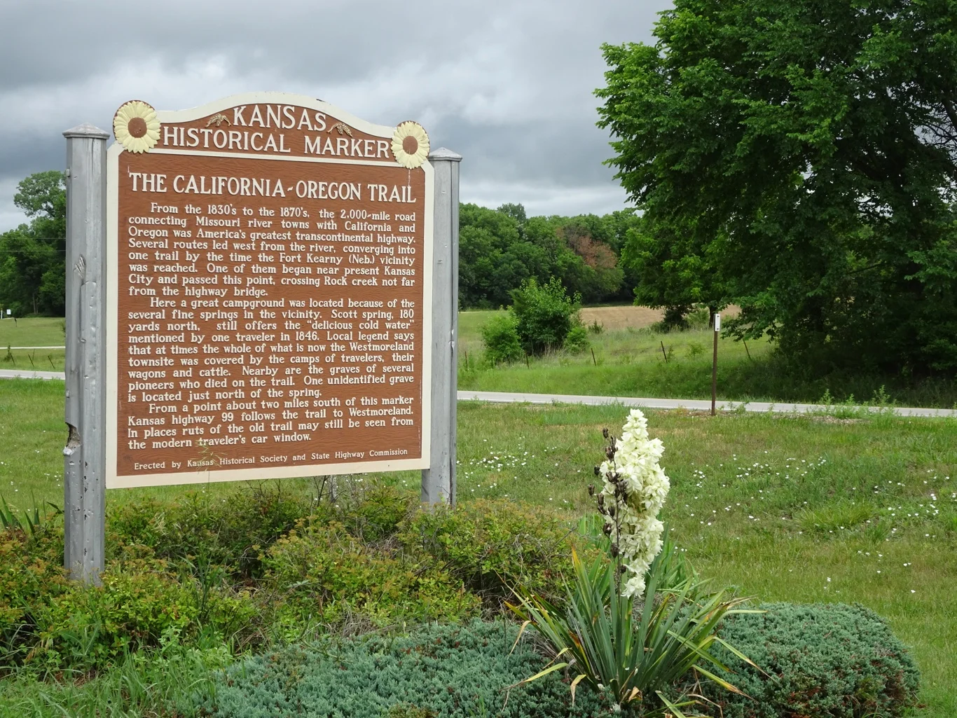
We had a list of Oregon Trail spots along the way but were surprised when a signpost announced "Historical Marker" a mile or so ahead of this one, giving us cause to make a surprise left turn into a layby to read this marker. Thankfully, my hero is adept at swerving at unexpected signals prompted by barn quilts, trail markers and assorted shop signs. (He also swerves for railroad attractions, just to balance the score)
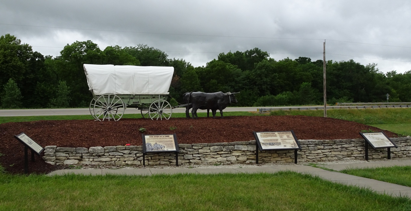
Not long after that marker came another, on the opposite side of the road. Thankfully this one was visible from afar and we had plenty of notice to turn right into a large layby with a model wagon standing proudly centre stage. We'd reached Scott Springs.
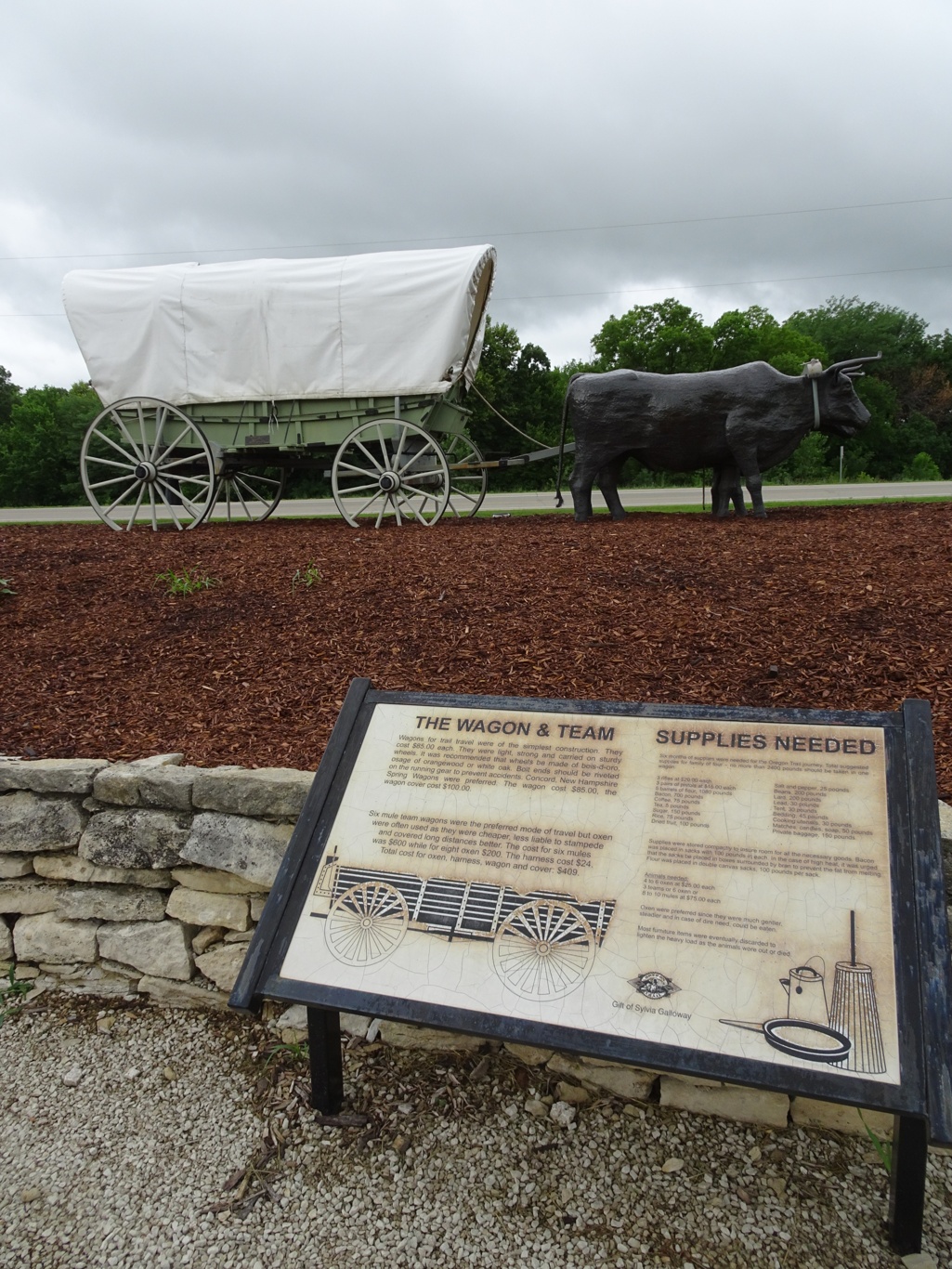
The trail markers and interpretive boards at each of these places are impressive. Every one offers a wealth of information and assume no prior knowledge. We hadn't come very far and we were already overwhelmed by the amount of Oregon Trail stories. This was fun!
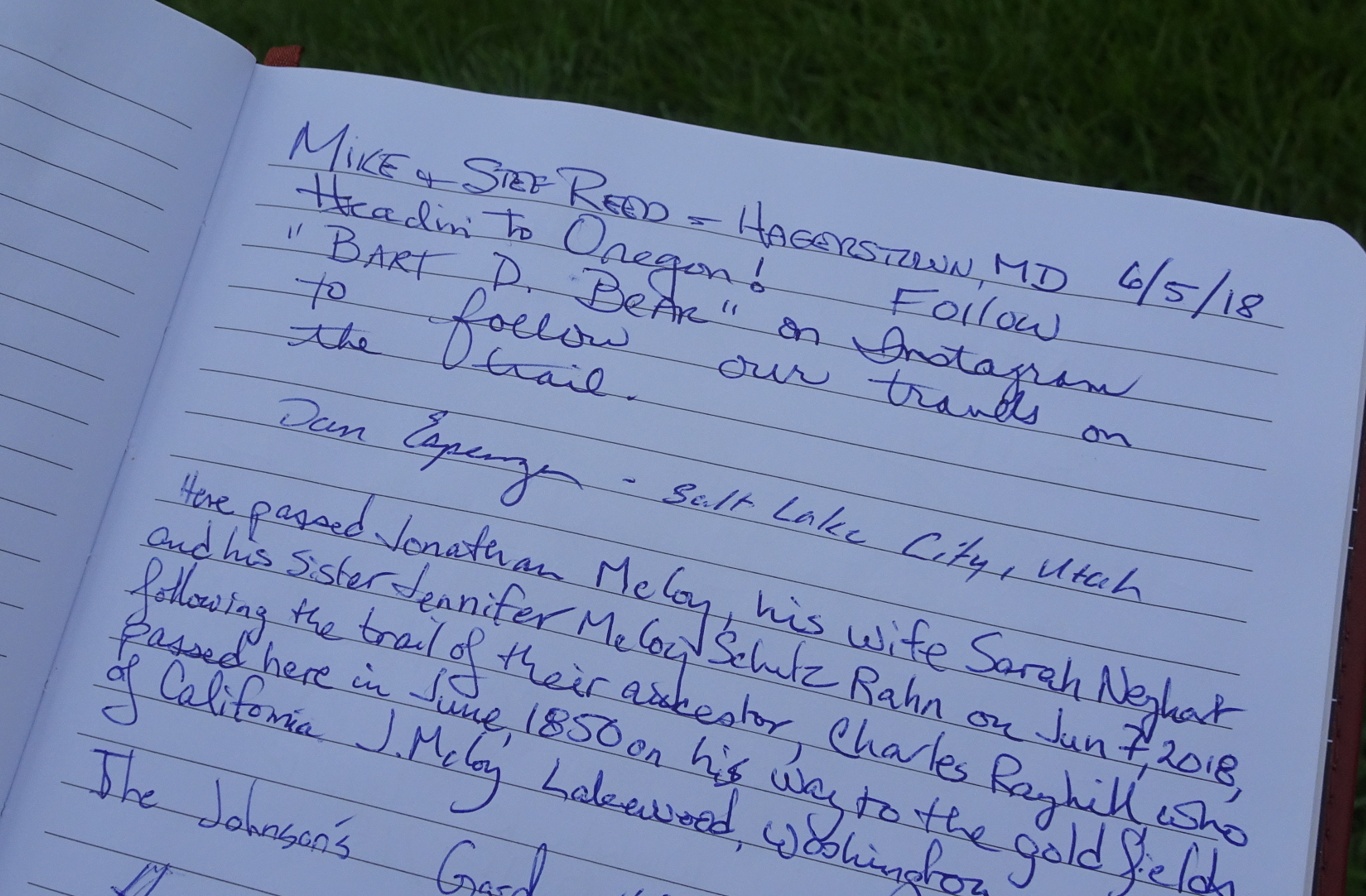
As I'd spotted another board at some distance away from the layby, my hero had discovered a visitors' book hidden away in a box by the boards. Here were stories of the people who were, like us, following the trail. As I wandered over to see what's what, he left our own story beneath this one.
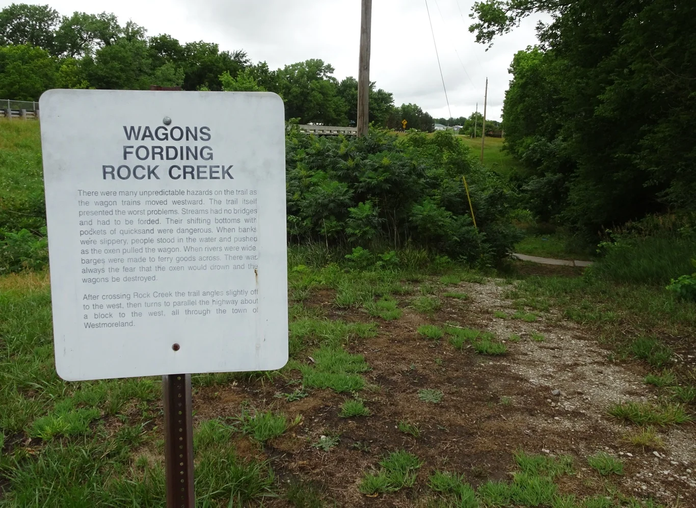
I had found a board describing how the wagons crossed the creek here, right alongside the track down to the water.
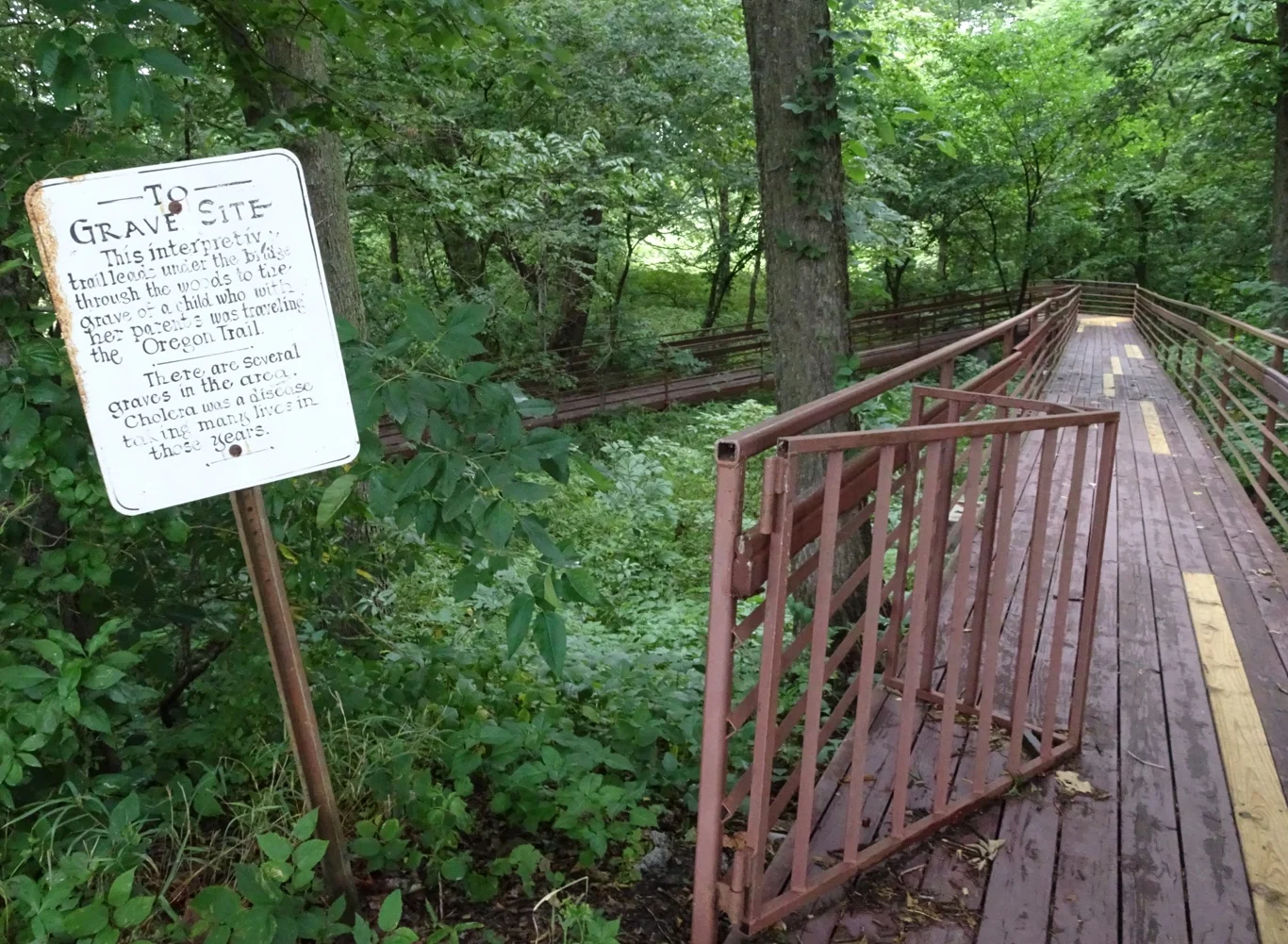
To one side was another marker, alongside a boardwalk down to a pathway under the road, leading to a child's gravestone. We decided against exploring that further, preferring instead to continue on our way towards the next marker. After all, we hadn't even reached the first place on our list yet!
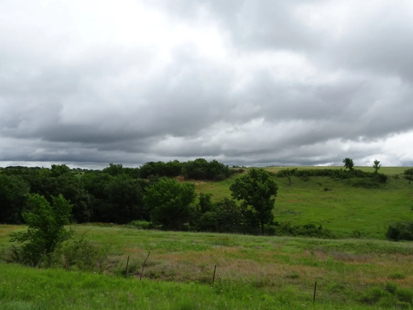
I was looking out over the fields at the leaden skies, wondering what we knew about tornadoes and what to do in case of one....
No sooner were we on our way than that first place on our list was heralded by another historic marker. By now, we knew what to look out for and were more alert!
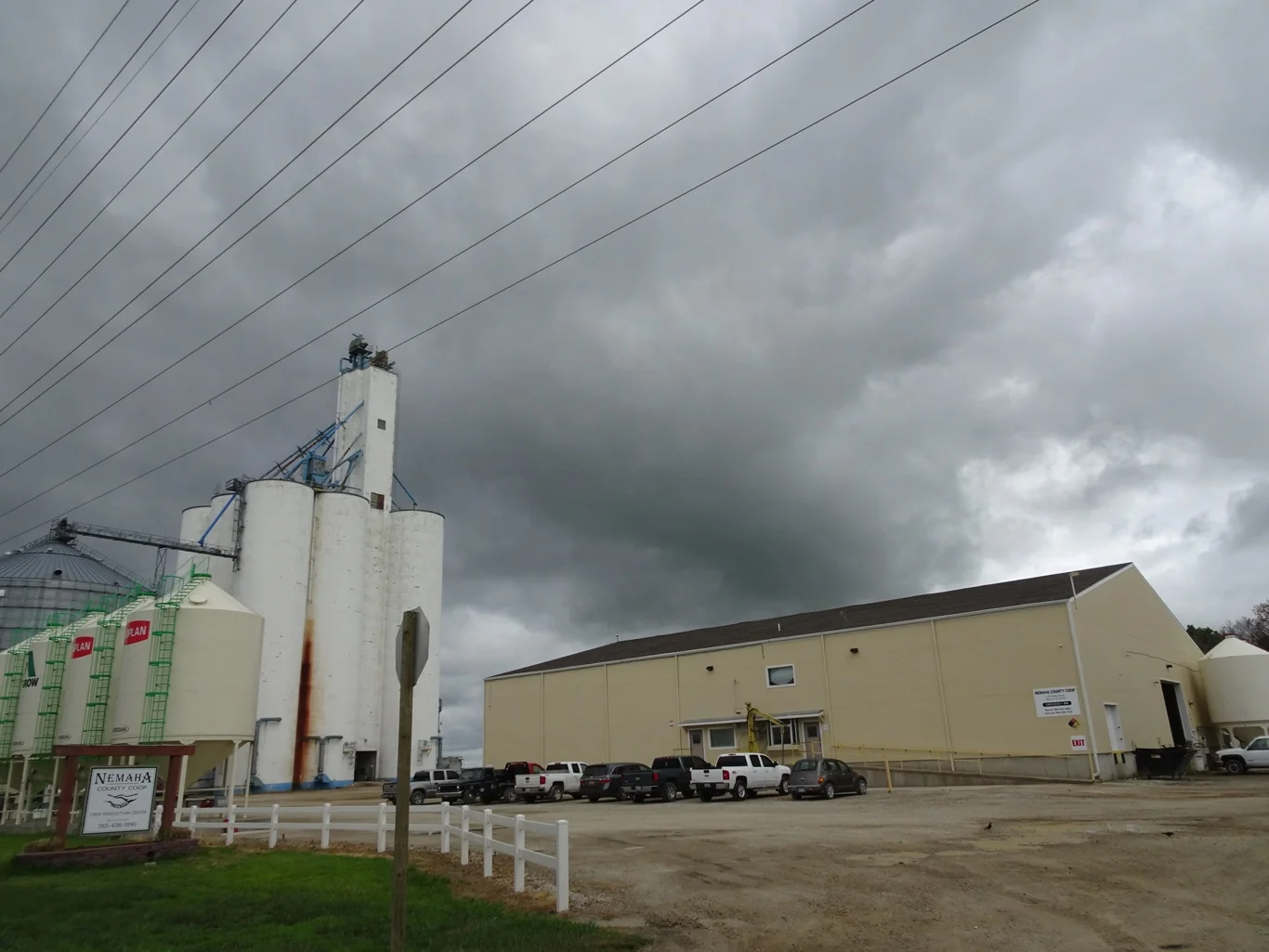
I found it strange to come across such places in a wide open rural landscape, but then there has to be a way of making money out here, doesn't there?
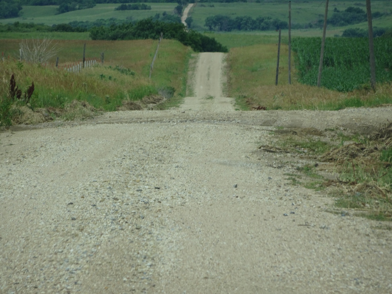
And this was indeed very rural - sure the classic road trip view doesn't change much, but please note that now, we're driving on unmetalled roads!
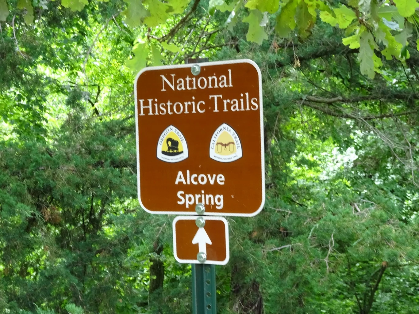
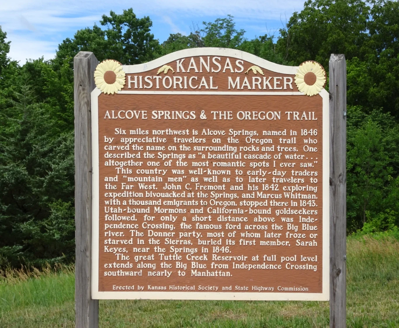
Here we were at Alcove Springs, the location which we'd put on our list as our first stop for the day. Once again, it was clearly signed and well prepared for visitors.
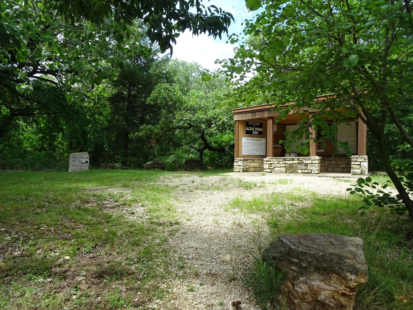
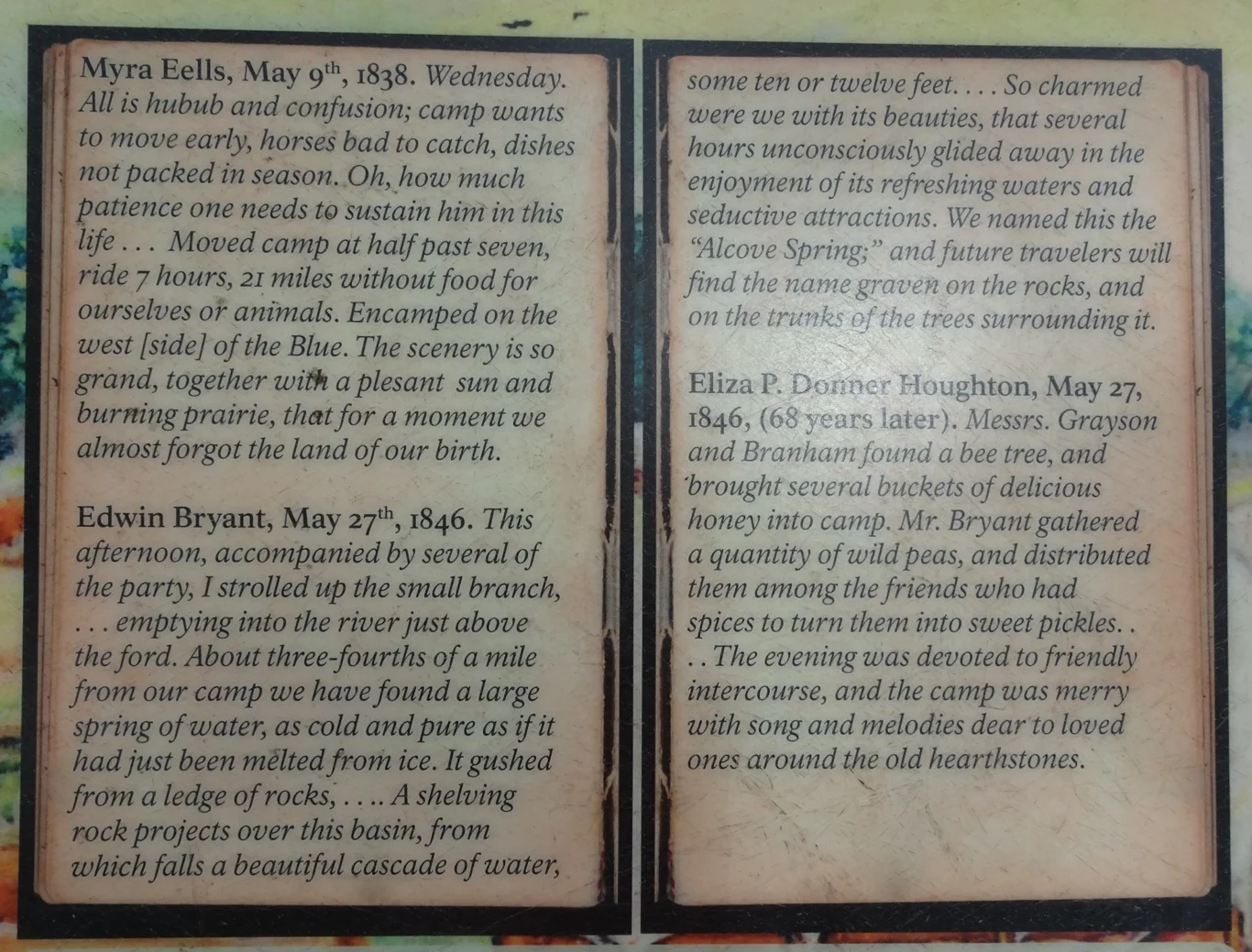
A small shed contained various information boards, maps to take away and a visitors' book similar to the one we'd seen earlier.
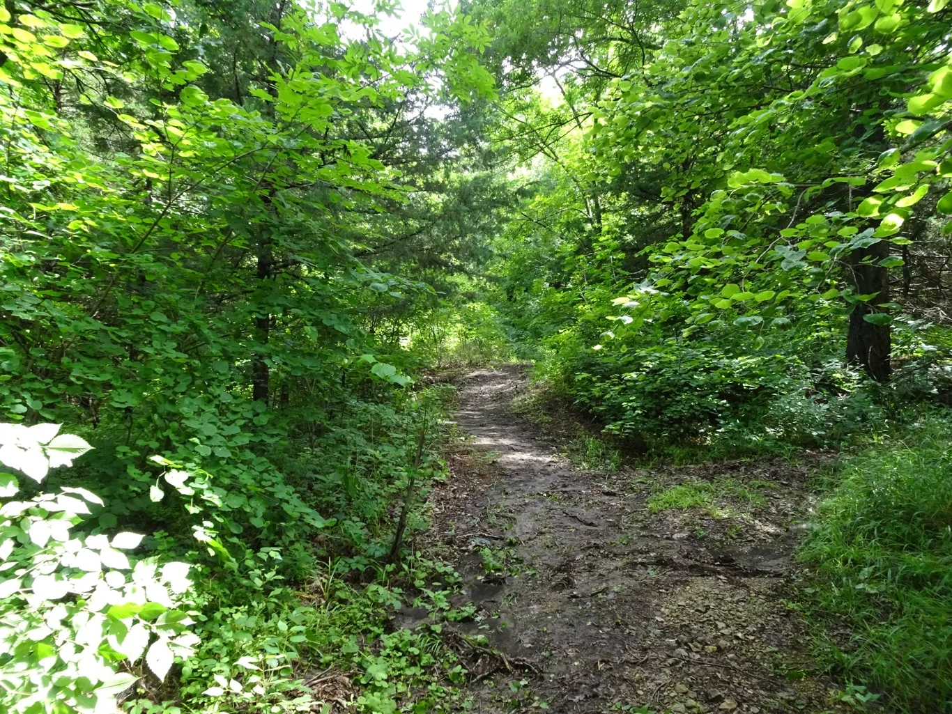
We followed the map in search of the springs, unsure of our route and finding the pathway rather slippy after the rain of the last couple of days.
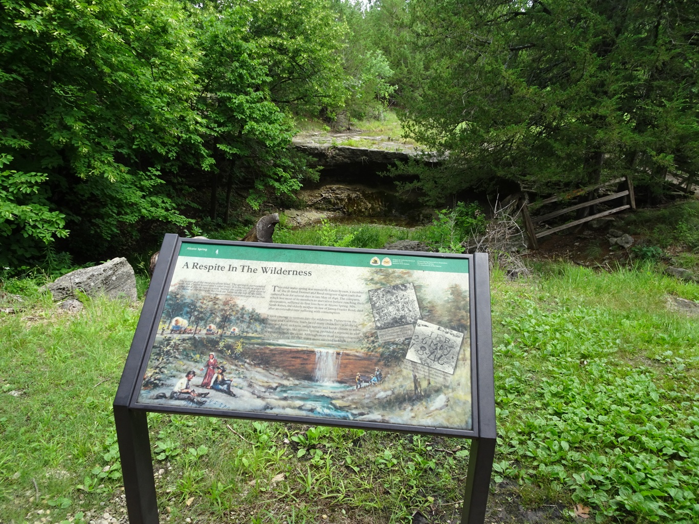
It was disappointing then, when we finally found the springs, to find them dry. Never mind, we had at least made the effort!
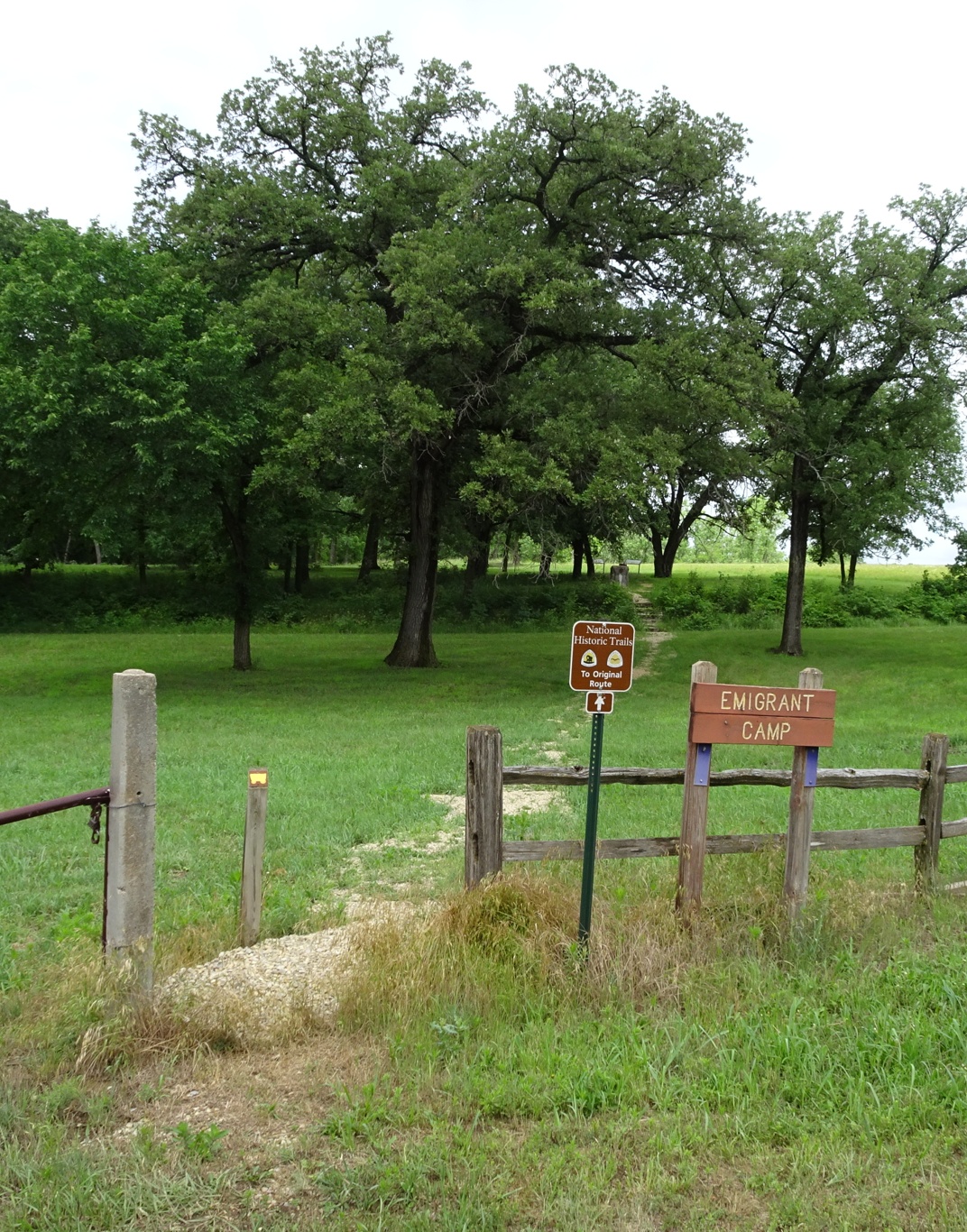
I was wondering what this was to do with the trail, even though I knew that sources of fresh water had been greatly valued by this stage. The answer lay across the road, in the "emigrant camp" site.
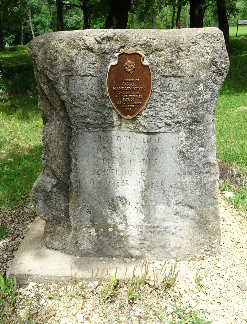
The first thing we came across was a gravestone, for Sarah Keyes who had travelled the trail as an old woman, hoping to see the son who had travelled earlier. Sadly, she didn't make it and accounts on the boards nearby told of the sadness of her travelling companion as they "left her behind".
Once again, the information boards provided all the information we needed to understand what we could see.
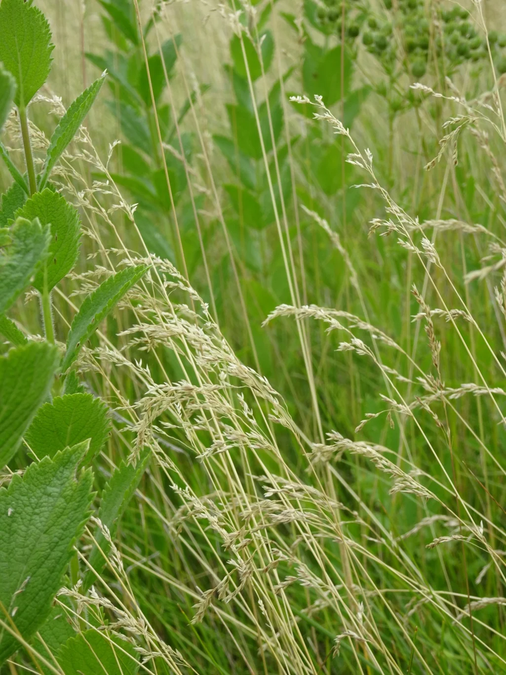
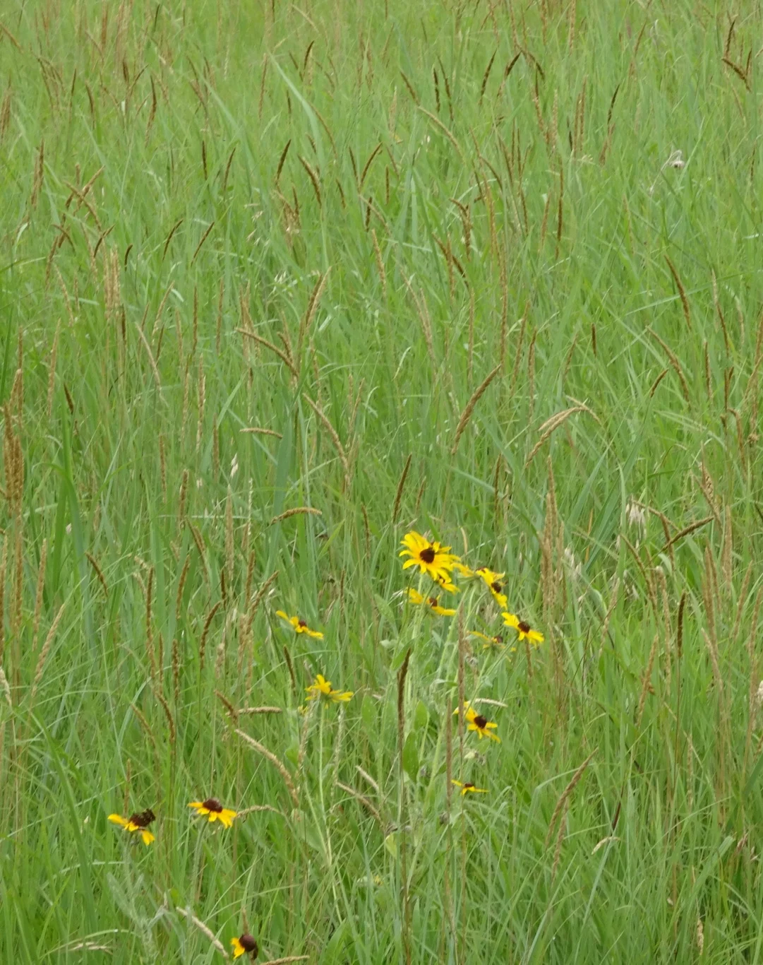
The signpost stood along the original trail which continues through the beautiful prairie of the title photo of this post, and then down towards the springs.
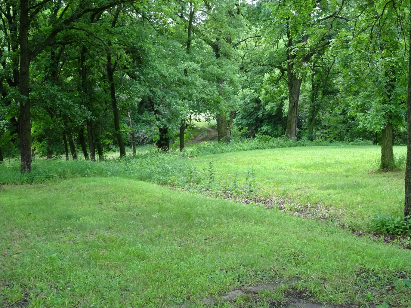
The swales were there to see, down into the trees and up the other side. We were happy to jump back into our vehicle and continue our journey towards Nebraska, coming across a couple of rather unusual birds in the road as we went.

I had scribbled notes in my little book at each stop and in every case this morning, i'd written "birdsong", for though there was the inevitable traffic noise, these were also peaceful places and I was struck by the lovely sounds around us as we stood and absorbed it all.

It seems like we are never far from a railroad around here and it was that which made me grab my camera and almost miss the historic marker on the other side of the road!
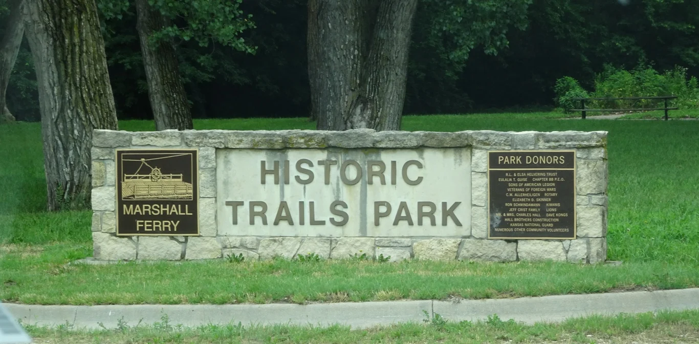
I was glad we didn't pass it by though, because a mile and a quarter down the road led to Marshalls Ferry, where another well presented park told the story of how they got the wagons over the river.
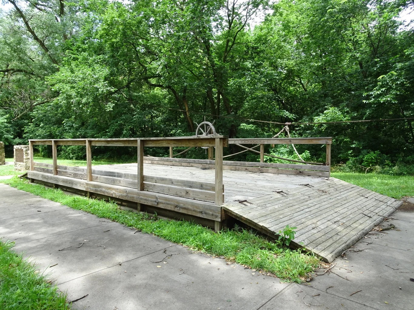
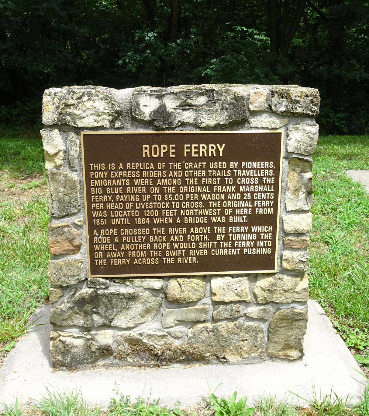
Here was a replica of the old wooden rope ferry that some pioneers used to cross the river - at $5 per wagon, plus extra for each animal, this was no cheap option, but looking down at the river as we crossed the bridge later, it's hard to imagine how they'd consider trying to do without.
Whilst we were there, the mile-long train didn't move at all, but as we approached the level crossing, we heard the whistle and kept our fingers crossed that it wasn't going to hold us up. Thankfully, it was on a different line!

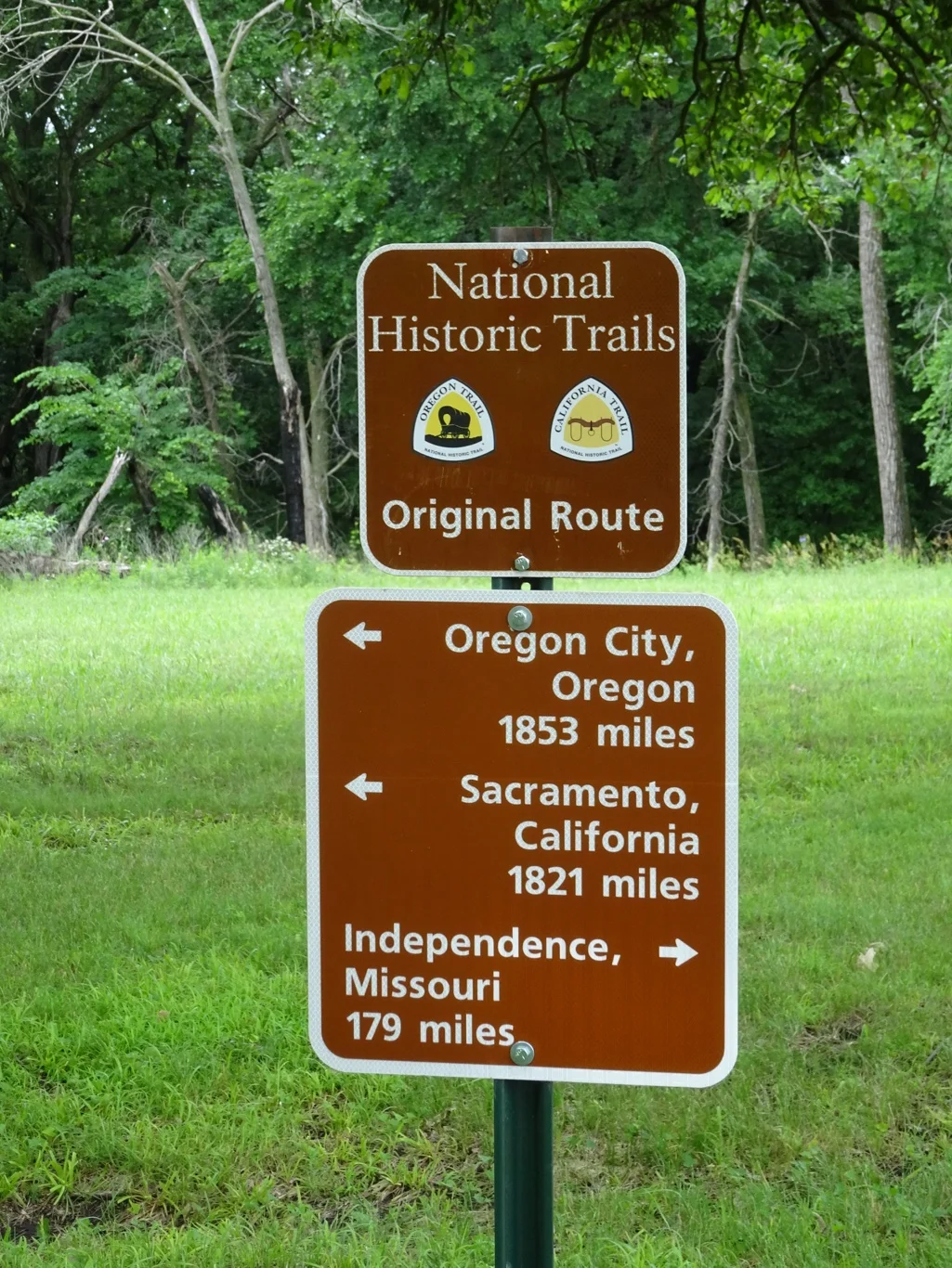
Onwards then, following the clear signs which tally with the free, National Parks Auto Tour booklets we'd collected in Independence. Such a great resource!
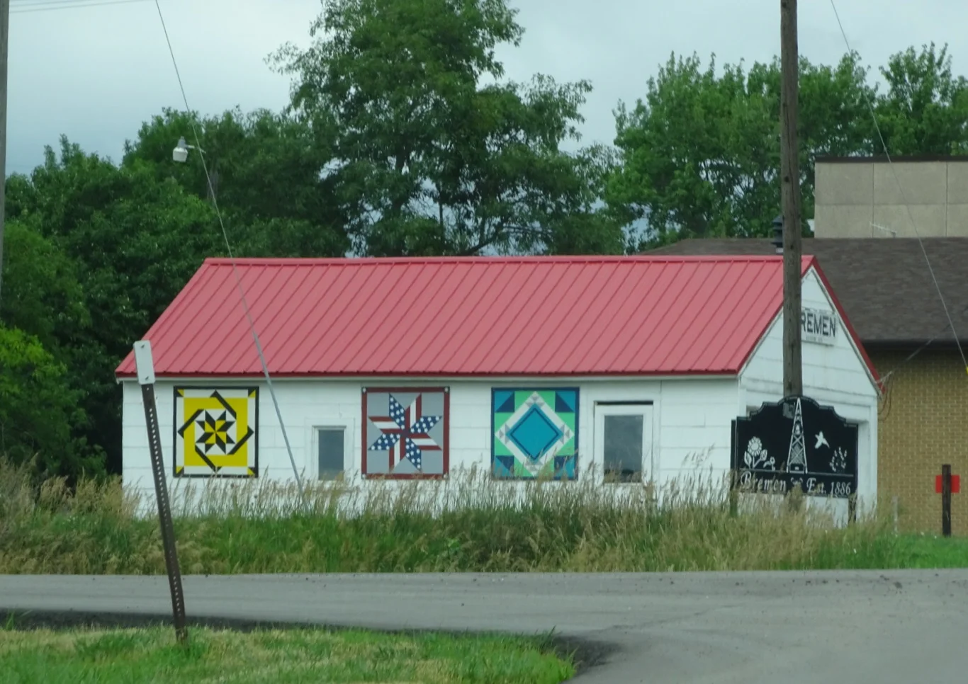
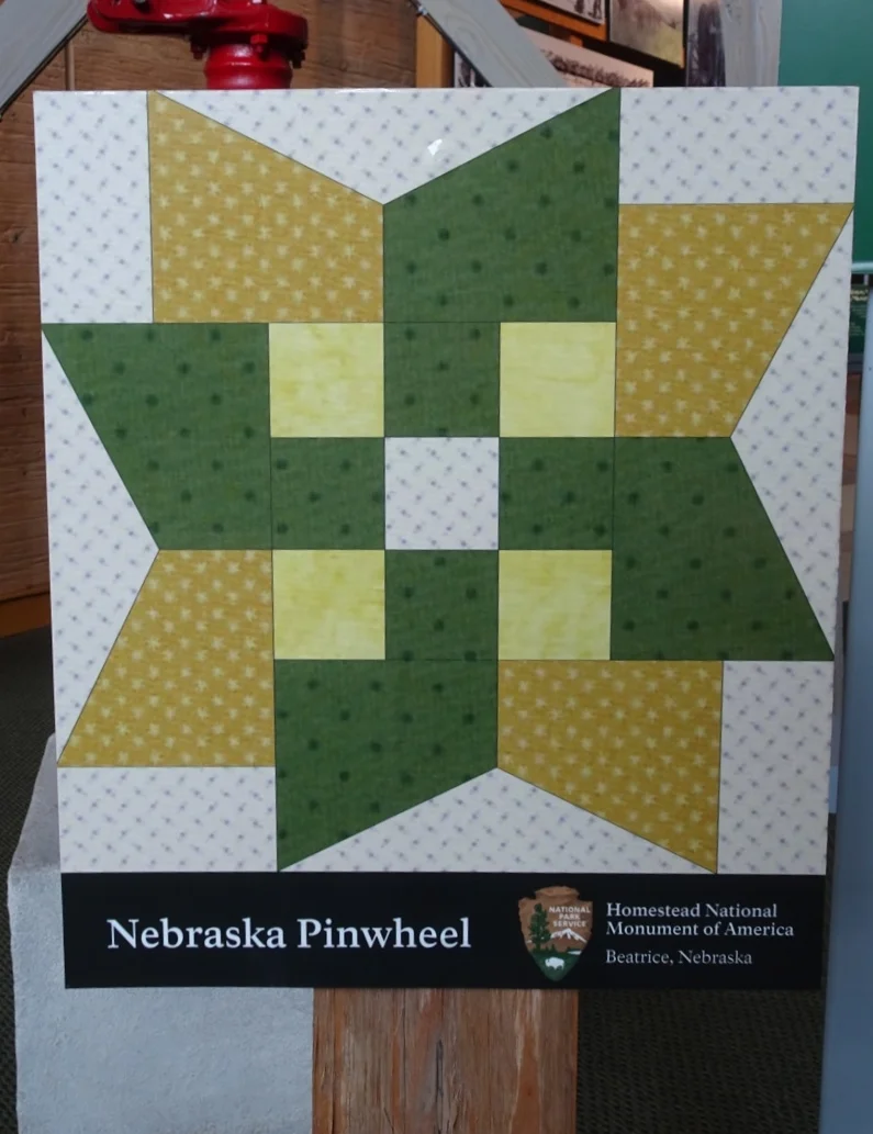
We were heading for the Hollenburg Station near Hanover and followed our satnav's instructions to turn left in Bremen - yes, this area was settled by German people! I snapped the barn quilts on the side of this building on the corner and made a mental note to keep an eye out for more!

First stop was in the visitors' centre, where MaryAnn gave us an introduction to the role of the "station" as shown in the mural, a copy of which I'd bought on a postcard in Independence for my journal. She pointed out the various groups who might have stopped at Hollenburg: military men, the pioneers on the trail, Mormon people travelling west pushing handcarts, the stagecoach and the Pony Express, who would change horses here.
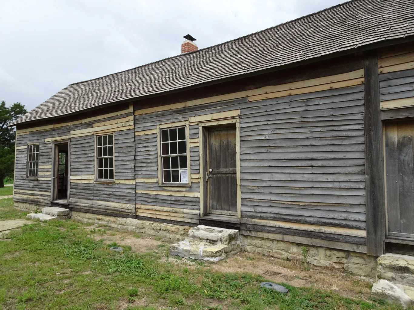
The Hollenburgs had set up their service station here to supply the varied needs of the travellers passing through. There were beds (and boards) available for those wishing to stay the night, hot meals and a corral for the animals. Sophia would offer sewing and repairs and it sounds as though it was a most enterprising operation.

Here was the storeroom, from where supplies could be replenished and additional food purchased for the journey and in an adjacent room was a Singer sewing machine - treddle operated of course!
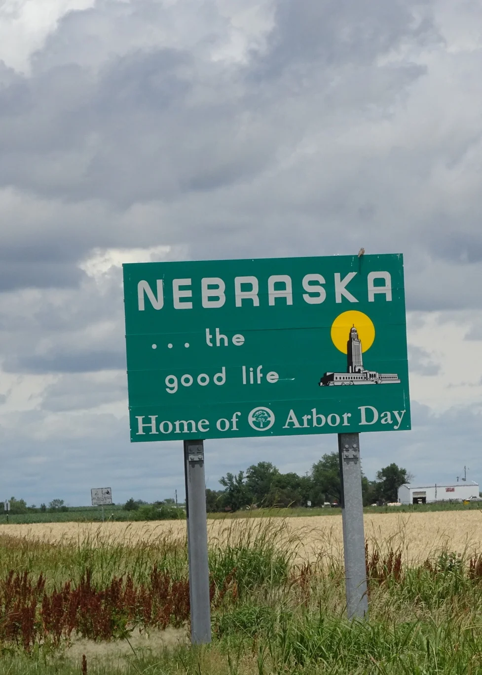
Time was moving on and mindful that there remained one more stopping place on our list, we set out again, this time under Nebraska skies.